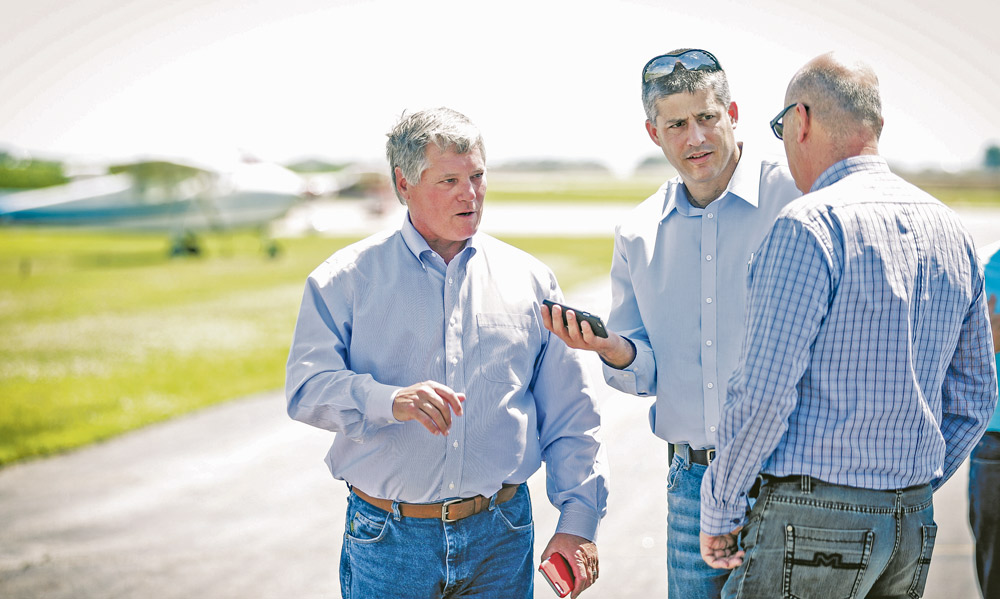

Elbit Systems representatives met with Terry Sando of the Grand Forks EDC to tour the Hillsboro airport in July.
North Dakota State’s unmanned aerial vehicle program has been and continues to do ground-breaking research since it began in 2014.
The program, led through the NDSU extension service of the Agricultural and Biosystems Engineering department, has conducted research at the Carrington and Williston research centers. It now will be conducting research out of the Hillsboro airport.
Advancements
Currently, NDSU has four UAVs, two small roto-copters and two small fixed wing aircraft.
In 2014 and 2015, research with UAVs has been mainly on crops. The aims of the research was to collect aerial data of corn and soybean fields and compare it to ground data.
Then, anomalies such as weeds that needed spraying could be spotted and aerial data could become more accurate and practical.
Now in the third year of NDSU’s drone program, researchers are also planning on partnering with the company Elbit Systems of America, an Israel-based company, to fly a much larger UAV.
The new UAV, named the Hermes 450, will have a 35-foot wingspan and will have a flight time for around 18 hours at a time, John Nowatzki, an agriculture machine systems specialist and the head researcher of NDSU’s UAV program, said.
The Hermes 450 project will be flown out of Hillsboro.
The goal of the Hermes 450 project will first be to obtain more data for a longer duration, as the roto-copters NDSU has can only fly for about 15 minutes and the fixed wing aircraft can only fly for about an hour.
Secondly, the Hermes 450 can take imagery of about 50,000 acres per hour with a one inch pixel size on the ground, Nowatzki said.
The Hermes 450 will be flown over a 40-mile by 4-mile rectangular area just west of Hillsboro at altitudes of 3,000 feet, 5,000 feet and 8,000 feet collecting ground data.
This data will be compared to aerial data that the small UAVs collect at 400 feet over certain specific fields and satellite imagery collected at the same time.
Nowatzki said the purpose of flying the Hermes 450 at different altitudes is to find out what the most economical way to gather data for farmers is.
“Basically a comparison to see what can be, which one is usable for managing crop issues … and which has a better return on investment from an economics point of view,” Nowatzki said.
Part of the problem that Nowatzki’s team is looking to solve is that companies like Elbit Systems of America would like to set up business here and fly over and collect data of the area and sell the information to farmers.
“So that’s one of the purposes of our research project, is to say what would the value of this be to the crop producer,” Nowatzki said.
Nowatzki said farmers are not using much aerial imagery to manage their crops, so the field is still developing.
Problems With UAVs
“It’s very difficult to fly these legally,” Nowatzki said.
NDSU has to work in conjunction with the Northern Plains Unmanned Aircraft Test Site, which is operated by the North Dakota Department of Commerce and is one of six Federal Aviation Administration approved test sites for UAVs in the country.
The NPUATS has to grant approval for NDSU to fly drones so that NDSU is not in violation of federal law.
“Right now, you could go buy one of these and fly it outside for fun, but if you decided to fly it over somebody’s … say you’re going to be a photographer and take pictures of weddings from up above, outdoor weddings, and then sell that imagery, the FAA says that’s not allowable,” Nowatzki said.
The NPUATS also supplies a remote mission commander for NDSU researchers, one who supervises the UAV operation and would take responsibility if something were to go wrong, Nowatzki said.
The Hermes 450 will also have to be flown with in formation by a manned aircraft, as current FAA rulings dictate that unmanned aircraft are currently not allowed to fly beyond the line of sight.
Another concern is the issue of who would own all of the images that NDSU researchers take with UAVs.
“One of the issues that continues to come up with is who ones this data, and who will we share it with,” Nowatzki said, adding, “Farmers are concerned that this is private data about their crops and so we’re dealing with those issues all the time.”
Ultimately, all of the imagery collected will belong to NDSU, in which it will be stored at the Center for Computationally Assisted Science and Technology and will be analyzed by big data researchers.
The imagery will be public record and thus subject to open record laws.
“We are protecting the imagery, in order for anybody to see it they have to have a username and password, so anyone that wanted to use the open record laws, they’d have to go through the court to get it,” Nowatzki said, “We’re trying to protect this so that farmer’s information is private.”
Looking ahead
“As we look to the future, I think lots of farmers will have these, for sure,” Nowatzki said.
Nowatzki added that companies like Elbit will most likely establish business here where they will fly fields and sell farmers the information regarding their fields. Nowatzki also added that in the future, the FAA will also probably loosen flight restrictions, allowing drone operators to fly beyond the line of sight, which is what the current policy is.
3 Replies to “NDSU Breaks Ground with Drones in Ag Research”